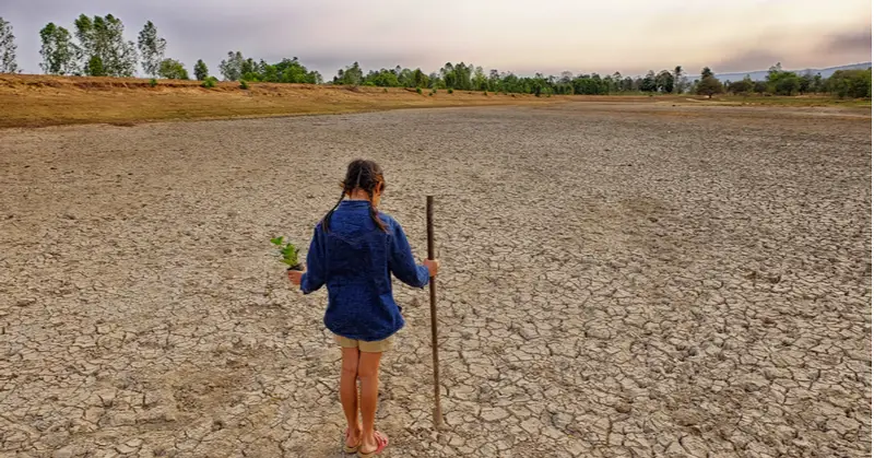

Conversations with friends and family about the best places to live to avoid the harsh impacts of climate change are becoming more regular and less abstract in my corner of the world. Even if I may not live to see the worst of what’s likely, it is hard to put aside worries about what kind of world our children and grandchildren will face in 10, 20, or 30 years.
Research coming out of the University of Leeds and the Danish Meteorological Institute has found that the rapid melting rates of ice sheets in Greenland and Antarctica are on target to match the “worst-case climate warming scenarios” with the oceans rising by 4 mm each year.1 It may not sound like much, but when you start multiplying that by decades, it clearly spells trouble. As Dr. Tom Slater of the Centre for Polar and Observation and Modelling at Leeds said, “The melting is overtaking the climate models we use to guide us, and we are in danger of being unprepared for the risks posed by sea-level rise.” 1
So—if you accept that climate change is real—how do we start researching where to live? For me, it was Yale’s Center for Environmental Communication that has gathered links to some great resources centered on North America.
One of my favorites is The Climate Explorer tool, a collaborative project of NOAA, EPA, NASA, and the USGS. 2 It features interactive maps and graphs that help you explore projected climate conditions compared against historical data. You can compare mean daily maximum and minimum temperatures for 1950-2010 against calculations for the 2020s through the 2090s. In the screenshot below, after entering Charlotte, NC in the search box, you can see historical averages of average daily max temperature (1961-1990) compared to projected average daily max temps in the 2050s. A quick look at the slider hints at the discomfort that will build over the next 30 years.

For example, clicking on Toronto brings up Secaucus, New Jersey as having the climate now that Toronto is expected to have by 2080 (5.2 °F/2.9 °C warmer and 35.1% wetter than current summer in Toronto).
In the screenshot below, clicking on Washington, DC brings up Greenwood Mississippi as having the climate now that DC is expected to have by 2080 (6.4 °F/3.5 °C warmer and 1.7% dryer than current summer in DC). You can read more about the development of this tool by a team from the University of Maryland and North Carolina State University in Nature Communications here.

I hope the two climate change modeling tools help kick off some serious conversations with friends and family about what the world may look like during the lifetimes of today’s children and, perhaps, open the door to planning ways to meet the challenges of climate change.
—R.A. Kroft
Sources:
1University of Leeds. Sea level rise matches worst-case scenario. Environment News. 31 August 2020.
2NOAA Climate Program Office. The Climate Explorer Tool. Interagency Climate Projection Team and US Climate Resilience Toolkit. http://toolkit.climate.gov
3Fitzpatrick, MC and Dunn RR. Contemporary climatic analogs for 540 North American urban areas in the late 21st century. Nature Communications. 12 February 2019.
—
R.A. Kroft writes about her day-to-day journey in living a smaller, more sustainable life and other topics that interest her.

This Site Was Inspired By An Interest in Protecting the Environment:
We had the privilege and joy of learning from Dr. Charlie Stine who instilled a love for the natural world through incredible field trips with the Johns Hopkins Odyssey Certificate program in Environmental Studies. At the time, the program was endorsed by the Maryland Department of Natural Resources. Sadly, after Dr. Stine retired, the program was phased out. We hope that we honor his legacy by shining a bright light on environmental issues and sharing good news about the success of various conservation programs when possible.
